
SMALLPAK Paid Summer Internship 2026
This position is no longer accepting applications.
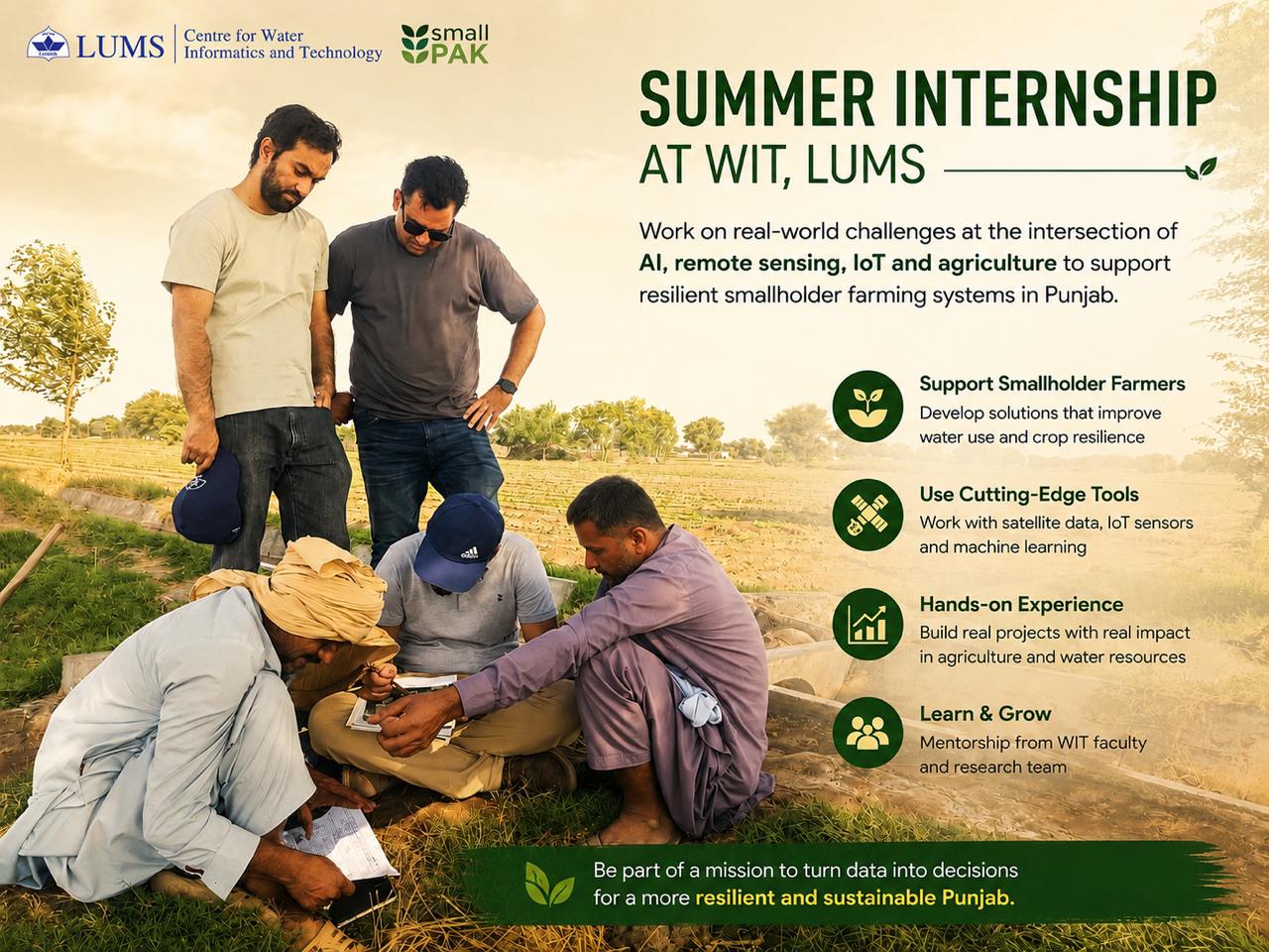
We are pleased to announce paid summer internship positions at the Centre for Water Informatics and Technology (WIT), LUMS, under the Innovations for Resilient Smallholder Production Systems in Punjab, Pakistan (SMALLPAK) project for undergraduate/graduate students. The internships will provide students with hands-on experience in applying data science, remote sensing, IoT systems, mathematical modeling, and machine learning to real agricultural and water-resource challenges in Punjab. Selected students will work under the mentorship of WIT faculty and staff, and will receive structured mentorship and a stipend upon successful completion of the internship.
| Department: | Centre for Water Informatics & Technology (WIT) |
| Job Level: | Internship |
| Deadline: | 29 May, 2026 (Passed) |
| Duration: | Commencing June 01, 2026 (Initially 1 month, extendable up to August 31, 2026 based on requirements and candidate progress). |
| Compensation: | Stipend of PKR 20,000 / month |
| Deliverables: | Joint session presentation and a written technical report at the end of the program. |
How to Apply (Closed)
Interested candidates must send their applications via email to hrwit@lums.edu.pk with the exact subject line: [SMALLPAK 2026] Internship Application - [Your Name]
Your application email must include:
- Updated CV
- Official academic transcripts
- A cover letter (maximum 300 words) detailing why you are best suited for the proposed work
Important: Clearly specify the project for which you are applying. You can apply for a maximum of two projects (explicitly stating your 1st and 2nd preference).
Queries & Clarifications: For any questions, please reach out to Hamza Rafique at hamza.rafique@lums.edu.pk.
Available Projects
1. AI for Smallholder Agriculture: High-Resolution Soil Moisture Mapping
| Mentor: | Hamza Rafique |
| Target Majors: | Computer Science, Electrical Engineering, and related disciplines. |
| Necessary Skills: | Intermediate to advanced programming skills (Python – ML/AI) and fundamentals of GIS. |
After two successful phases of the Machine Learning for Earth Sciences mentorship, this year’s project will focus on applying machine learning models for the generation of high-resolution gridded soil moisture products for our own region: Punjab, Pakistan. The first phase of this project focused on time-series modeling using in-situ IoT soil moisture sensors, while the second phase expanded the work by integrating remote sensing spatial datasets. In this third phase, the selected student will build on same foundation to develop regionally relevant ML workflows for soil moisture estimation across Pakistan’s agricultural landscapes, with a particular focus on smallholder farming systems where field-level water information is often limited but highly valuable.
The project revolves around the modeling and estimation of soil moisture content, a key variable for agricultural water management, irrigation planning, drought monitoring, flood-risk assessment, and climate-smart agriculture. The student will work with multi-source Earth observation datasets, including satellite-based soil moisture products, land surface temperature, vegetation and land-cover indicators, terrain information, and WIT’s IoT-based field sensor observations. The core objective will be to explore how deep learning models can downscale coarse satellite soil moisture observations into finer-resolution estimates that are more useful for agricultural and water-resource applications in Punjab. This will involve an end-to-end ML workflow, including data preprocessing, geospatial alignment, feature engineering, model training, validation, visualization, and interpretation of results across different deep learning approaches.
This project is suitable for students who want serious hands-on experience in applying AI/ML to Earth science, remote sensing, and AgriTech problems. The work will expose students to real-world environmental datasets, satellite data pipelines, IoT sensor observations, spatial modeling challenges, and deep learning architectures for geophysical applications. The skills developed through this mentorship are relevant for both academic research and industry roles in climate analytics, digital agriculture, remote sensing, environmental monitoring, and data-driven water-resource decision support.
2. Estimating Deep Percolation In Agricultural Fields Using Multi-Depth Soil Moisture Sensors
| Mentor: | Haseeb Ahmed |
| Target Majors: | Physics, Mathematics, or related engineering disciplines. |
| Necessary Skills: | Familiarity with mathematical modeling, data processing, and analysis (Python/MATLAB). Knowledge of basic hydrology and previous work with environmental sensor data is beneficial but not required. |
Accurate modeling of soil moisture dynamics is crucial for estimating water demand in agricultural contexts. One aspect of this is understanding and quantifying the process of deep percolation i.e. how water moves through the soil from the surface to the layers below. In this project, the student will utilize WIT’s indigenously developed multi-depth soil moisture sensors to understand and model the process of deep percolation to use this as an input for soil moisture modeling. The student will analyse data in both laboratory and field settings and gain a deeper understanding of how water flows in different layers of the soil as well as the various parameters this flow depends on.
3. Making WIT IoT Data FAIR: A Reproducible Framework for Soil Moisture Data Publishing
| Mentors: | Hamza Rafique, Ali Akbar |
| Target Majors: | Data Science, Embedded Systems, Computer Science, Electrical Engineering, and related disciplines. |
| Necessary Skills: | Intermediate to advanced programming skills (Python) and fundamentals of IoT / embedded systems. |
Soil moisture is one of the most important variables for understanding agriculture, irrigation demand, drought stress, groundwater use, and land-atmosphere interactions. At WIT, we have developed an IoT-based soil moisture sensor network that generates valuable field observations across agricultural landscapes in Pakistan. However, for this data to become useful beyond local decision support, it must be cleaned, standardized, quality-controlled, documented, and published in a form that can be used by researchers, modelers, and global data platforms such as the International Soil Moisture Network (ISMN).
This mentorship project will focus on developing a repeatable end-to-end framework for transforming raw soil moisture sensor observations into FAIR data products: data that are Findable, Accessible, Interoperable, and Reusable. The student will work on data preprocessing, anomaly detection, sensor quality checks, basic analytics, and formatting the dataset according to ISMN publishing requirements. The goal is not only to publish one dataset, but to design a workflow that can be reused to publish IoT sensor datasets which will be collected during the SMALLPAK project.
Beyond its scientific value, this project will expose students to a practical data-publishing workflow that is increasingly relevant across both academic research and industry. While working on real sensors data, the student will learn the necessary skills related data quality control, metadata standardization, reproducible pipelines, and platform-ready formatting, which are central to environmental monitoring, digital agriculture, IoT analytics, and data governance. By the end of the project, the student will contribute to a scalable framework that makes Pakistan’s field-scale soil moisture observations more visible, trusted, and reusable within the global scientific community.